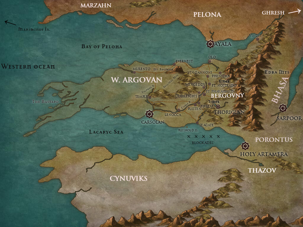
A Map of Greater Argovan
Update: Don’t look at these anymore, I’ve made much better ones using Wonderdraft.
I’ve drawn several maps of the world of The Heron Kings in the past, all freehand and all terrible. Recently my wonderful agent Nathan asked me for a map in order to keep all the locations straight. When I went and dug out the last one I’d drawn years ago, it was completely wrong based on how the story had evolved! Inkarnate is an online map-making tool with a free version that’s easy to use but very limited in capability, certainly to get you to buy the paid version. I spent an hour or so throwing together this quick and dirty map of Argovan, Bergovny and surrounding areas just to give an idea of the general geography. I only labeled places mentioned in the book, otherwise it would be crammed with text.
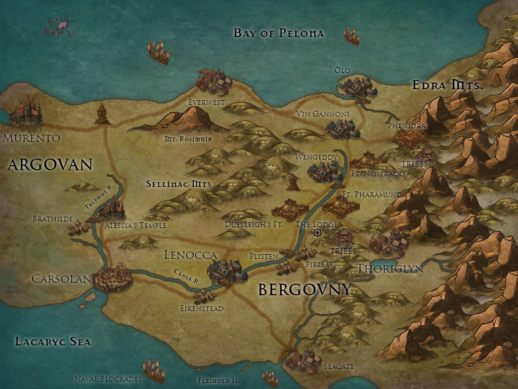
Bit of a zoom in on the main area of action:
The main motivation for making any maps at all was really so I could keep track of distances and travel times. You only have to look at that ridiculous Season 7 episode of Game of Thrones where everyone has fast travel abilities to see why this matters. As far as I can work out, the Arogvani peninsula is about 250 miles north to south at its midpoint and about 1000 miles long, though much of that is mountains or swampland. Roughly the size of Turkey. Plisten and Firleaf villages are a day apart, and it’s about two weeks to travel from Carsolan to Everwest.
I suppose the publisher will have its own art department to make maps if they decide they’re necessary, but for now these look nice enough! I might update them with more details in the future. Thanks to @kivastora for bringing this tool to my attention.